
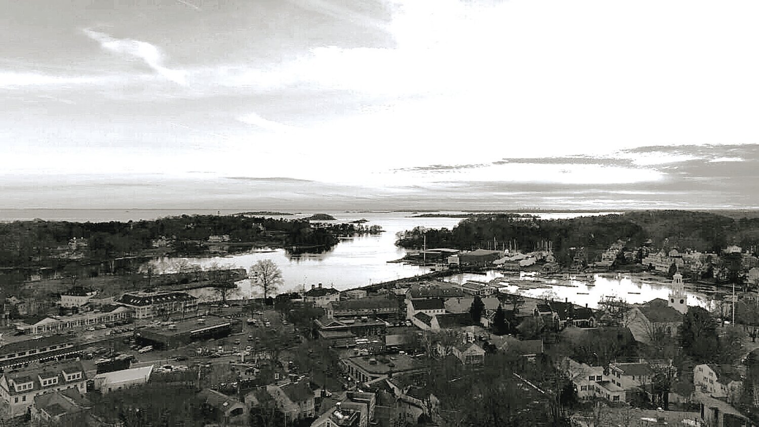
A drone shot of Manchester-by-the-Sea's inner harbor and the coastal areas beyond.
The impacts of rising sea levels and larger storm events on our community will present significant challenges. We have already gotten a glimpse of some of the challenges that await us.
Last year’s storms flooded the Town Hall parking lot and water reached into Town Hall. The Rotunda was lifted off its piers, a portion of the West Beach seawall was destroyed, portions of the Singing Beach revetment were undermined and Ocean Street at White Beach was under some 5 feet of sand and stone. This is not the first time some of these damages have occurred but all indications are this type of damage will become more frequent and more costly.
The full impacts of changes to our climate hopefully are many years away but community discussions are needed now to start laying the ground work for how we should best prepare ourselves for the new conditions that we will face.
Our hazard mitigation plan was recently updated to include a chapter on climate change and identifies some of our most vulnerable areas – the Raymond Street area near Magnolia, Ocean Street, the center of town including the train station and Masconomo Park (areas that were once mostly mudflats before being filled in), areas along Sawmill Brook, and Bennett Brook, West Beach and lands adjacent to the salt march on the western edge of Town. While only handfuls of residents attended the public forums where the draft plan was being reviewed, the citizen’s committee that guided the development of the plan provided important input.
One of the recommendations contained in the hazard mitigation plan and captured in the new master plan is to study mitigation options for some of our low lying areas that are at risk to repeated flooding and storm damage.
To further advance this recommendation a grant application has been submitted to the Metropolitan Area Planning Commission to develop options for restoring some of the natural mitigating functions of “living shorelines” at White Beach. We may not be awarded the grant but if we are we would embark on a public process to assess various options for making this short stretch of what use to be a dynamic barrier beach with its accompanying salt march into a more naturally functioning landscape increasing its capacity to absorb storms and high-water events without damaging public or private property.
The possibility of losing even a very short stretch of Ocean Street to vehicular traffic has alarmed some residents.
Certainly, driving the length of Ocean Street offers some of the best views of the ocean along a public road in the Town. Preserving as much of this as possible in a cost-effective manner is important. But taking no action now may leave us even more vulnerable to losing the road in the future. Studying our options now while we still have time to take pro-active steps may help us preserve this special part of the community. If a recommendation is made to discontinue a portion of a public road, voters would have to approve such a recommendation at Town Meeting.
This is just one small step in a series of efforts that will be needed to determine how best to respond to the challenges of rising seas and more intense storms here and in many other parts of Town. We will face some very difficult choices – can we build new protective barriers to keep water out of the places we currently cherish? Or will we only be able to do this in certain areas while we retreat from other areas? Are there ways to work more creatively with restored natural areas that will allow us to remain close to the water’s edge without high risk to storm damage? Finding acceptable and affordable answers to these questions will require a lot of exploration and community dialogue. It is time to accelerate our efforts.


